In shortThe Lake Maurepas swamp sits on the Manchac land bridge, the belt of cypress swamp and marsh between Lake Pontchartrain and Lake Maurepas. Boats work out of the Frenier area at 110 Frenier Road, LaPlace, about 25 miles from New Orleans, and the sheltered channels suit paddling: the small-group Manchac kayak trip runs 2.5 hours from $90, transport from the French Quarter included.
25 milesFrenier Road from New Orleans
2.5 hoursManchac kayak tour
from $90Small-group kayak trip
nearly 200Bird species logged nearby
Where the lake maurepas swamp sits on the map
The water you are after lies on the land bridge, the strip of swamp and marsh that separates Lake Pontchartrain from Lake Maurepas, cut through by canals, bayous and old railroad alignments. Joyce Wildlife Management Area, the public block in the middle of the Manchac wetlands, is bounded by Lake Maurepas, Lake Pontchartrain and the Tangipahoa River, and the state birding guide describes it as reachable mostly by water. Road access gives only a short look at the marsh edge and nothing of the cypress corridors behind it.
That is why almost everyone sees this area from a hull. The interesting water lies off the highway, in channels narrow enough that the trees close over you, and road access exists only at the edges. Frenier Road, on the Pontchartrain side near LaPlace, is the departure area closest to the city.
Manchac swamp cypress and the standing dead trees
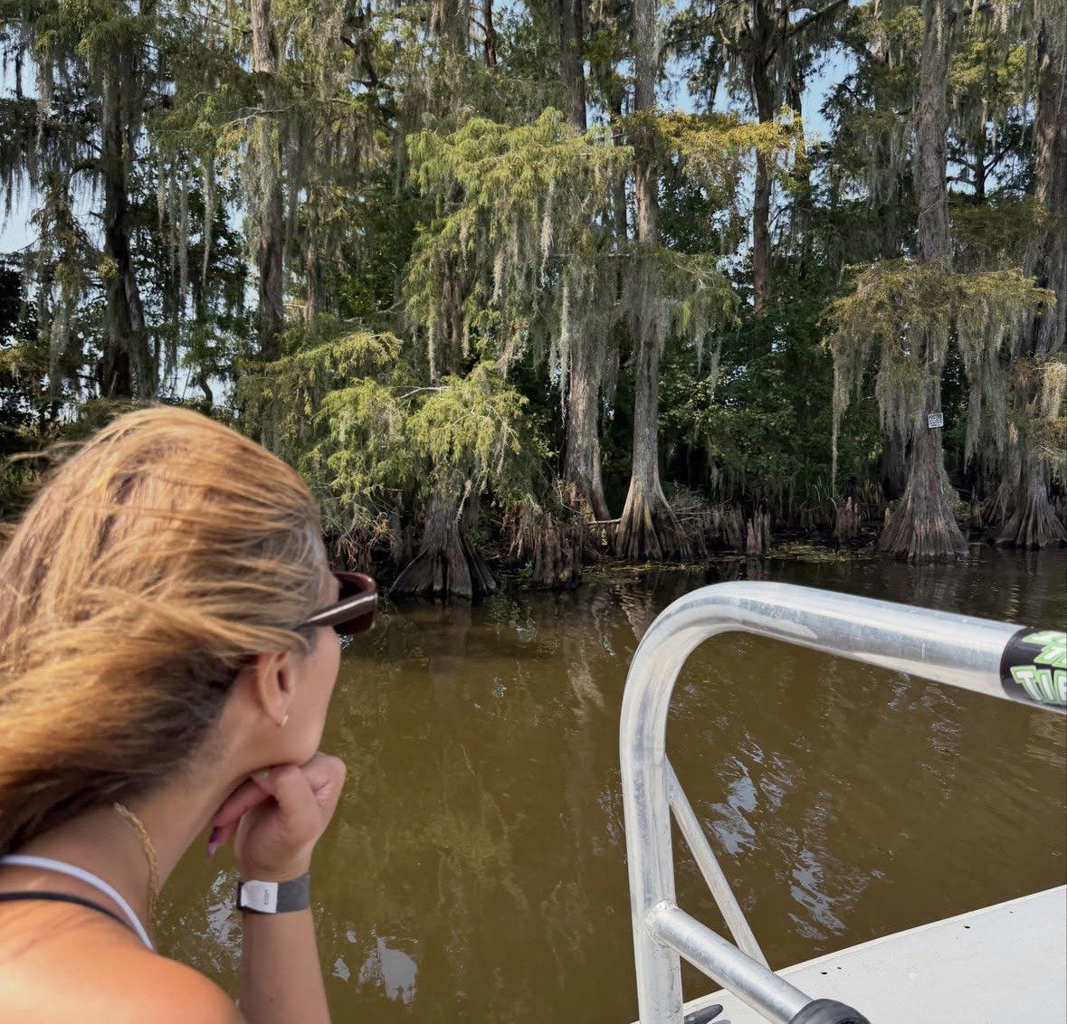
Logging stripped the whole Maurepas land bridge in the late 1800s and early 1900s, at the peak of the cypress trade, and the Pontchartrain Conservancy records that clear cut plainly. Everything you paddle through is what grew back, and in places what did not: bare standing trunks and broken crowns, the stands photographers have taken to calling the ghost forest of Louisiana. Live cypress and tupelo hold the interior, hung with Spanish moss, while the dead wood shows up mostly where the swamp opens toward the lakes.
Why the young trees are missing is better documented than most visitors assume. Researchers at Southeastern Louisiana University's Wetlands Restoration Laboratory tested the obvious suspect and ruled it out for these two basins: bald cypress proved remarkably tolerant of short-term saltwater of around two weeks, and the lab found no evidence that saltwater intrusion accounts for the absent cypress regeneration at Manchac and Maurepas. The same lab records nutria, descended from animals released at a south Louisiana fur ranch in the 1920s, biting young seedlings through at the base, with 100% mortality of unprotected seedlings in the Manchac swamp.
Salinity still counts for something here. Construction of the Mississippi River-Gulf Outlet pushed higher salinity into Lakes Pontchartrain and Maurepas, and since that channel was closed both surface and soil salinity have come down and swung less. The state coastal authority is now building the River Reintroduction into Maurepas Swamp, a 5.5-mile controlled-flow diversion that will send Mississippi River freshwater into the cypress-tupelo swamp to add nutrients, flush stagnant low-oxygen water and deliver fine sediment, with construction beginning at Hope Canal in 2024 and near Garyville in 2027 and completion estimated for 2030.
The wider number behind all of this: coastal Louisiana lost about 2,006 square miles (5,197 km2) of land between 1932 and 2016, give or take 171 square miles. USGS puts the recent moderate rate at about 10.8 square miles a year, which works out at a football field of wetland every 100 minutes, against about 32.0 square miles a year and every 34 minutes at the historic peak.
Manchac cypress from a kayak
A guided 2.5 hours at water level, from $90 and rated 4.9 ★ (995 reviews), gets you into the narrow cypress cuts that the standing dead stands frame.
★ 4.9/5 · 995 reviews
Leaving from the Frenier area
The departure address in this part of the wetlands is 110 Frenier Road, LaPlace, roughly 25 miles from New Orleans, where a privately owned wildlife refuge runs custom pontoon-style flat-bottom boats on trips of about 1.5 hours; on this site a privately owned Manchac refuge cruise comes as the 90-minute swamp half of the Oak Alley Plantation day. The operator's own site lists slots at 9:30 AM, 12:00 PM, 2:15 PM and a 4:15 PM marked seasonal, so treat that late afternoon departure as something to confirm on the day rather than plan around.
Without a car, the kayak trip on this site solves the drive. Transport from the French Quarter is part of the ticket, and shuttle passengers gather at The Rampart Tree House, 740 N Rampart Street, one hour and 15 minutes before the scheduled start, which is the single detail people get wrong when they book it.
Go early in the day between June and September. Highs in that stretch sit in the low 90s°F, the heat index can reach 110°F, and a kayak seat gives you no shade at all; October and November are the comfortable months, with average highs in the 60s°F, lows in the 40s to 50s°F and rain turning up less often. Hurricane season covers June through November and spring brings frequent afternoon thunderstorms, either of which can keep boats at the dock, so leave a spare day in your dates.
| Tour | Format | Duration | From | Rating | Transport from New Orleans | Meeting point | Best for |
|---|
| Small-Group Manchac Swamp Kayak Tour | small-group kayak, paddle lesson and all gear | 2.5 hours | from $90 | 4.9 ★ (995) | included from the French Quarter | The Rampart Tree House, 740 N Rampart Street, 1 hour 15 minutes early | cypress corridors at water level |
|---|
| New Orleans Swamp and Bayou Boat Tour with Transportation | covered swamp boat | 5 hours | from $76 | 4.9 ★ (7171) | included from downtown | Homewood Suites French Quarter, 317 North Rampart Street | a deck, a roof and live commentary |
|---|
Why the channels here suit a kayak or a small boat
Shelter is the reason. The land bridge breaks the open water of two lakes into canals and bayous, and the Park Service defines a bayou as the slow-moving, constantly flowing, typically wide and shallow part of a river, stream or estuary. Behind the first line of trees the forested swamp holds slow-moving or standing water under the canopy, which is exactly the surface a loaded kayak likes.
Size decides what you get to see. A paddler slips between knees and buttressed trunks into cuts no pontoon fits, and at seat height you are level with turtles on logs and water snakes along the bank instead of looking down from a rail. No experience is needed for the trip on this site: a paddle lesson and all necessary gear come with the 2.5 hours, and a guide stays with the group.
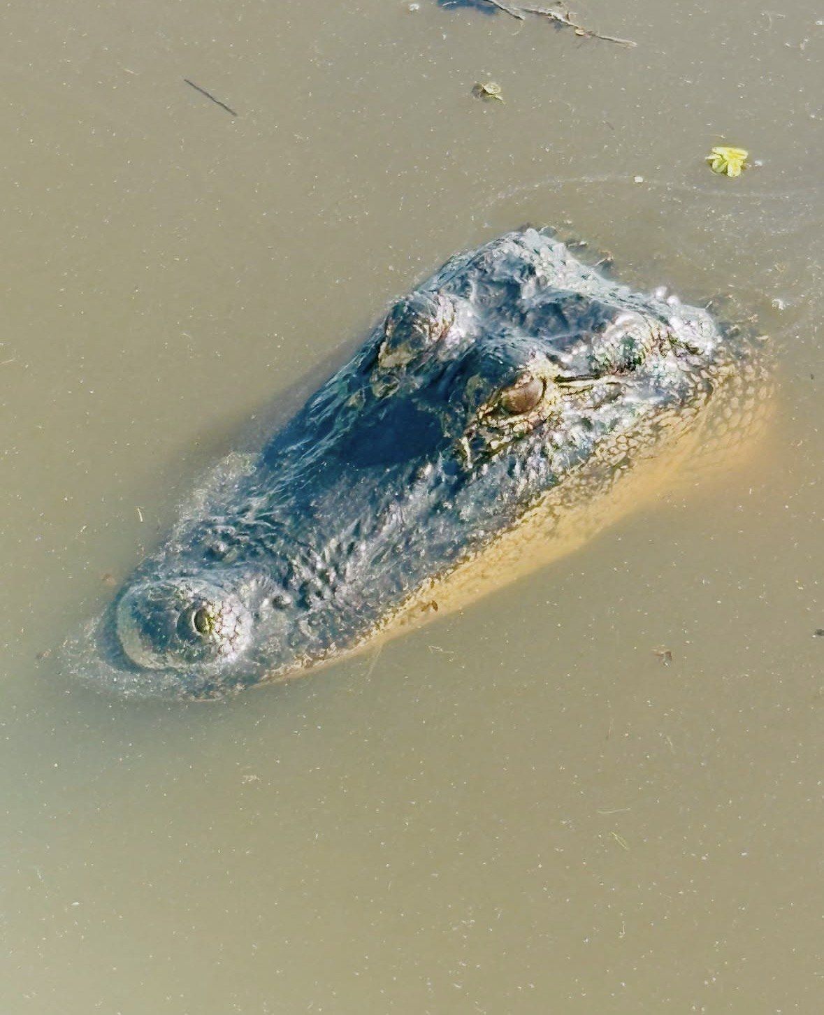
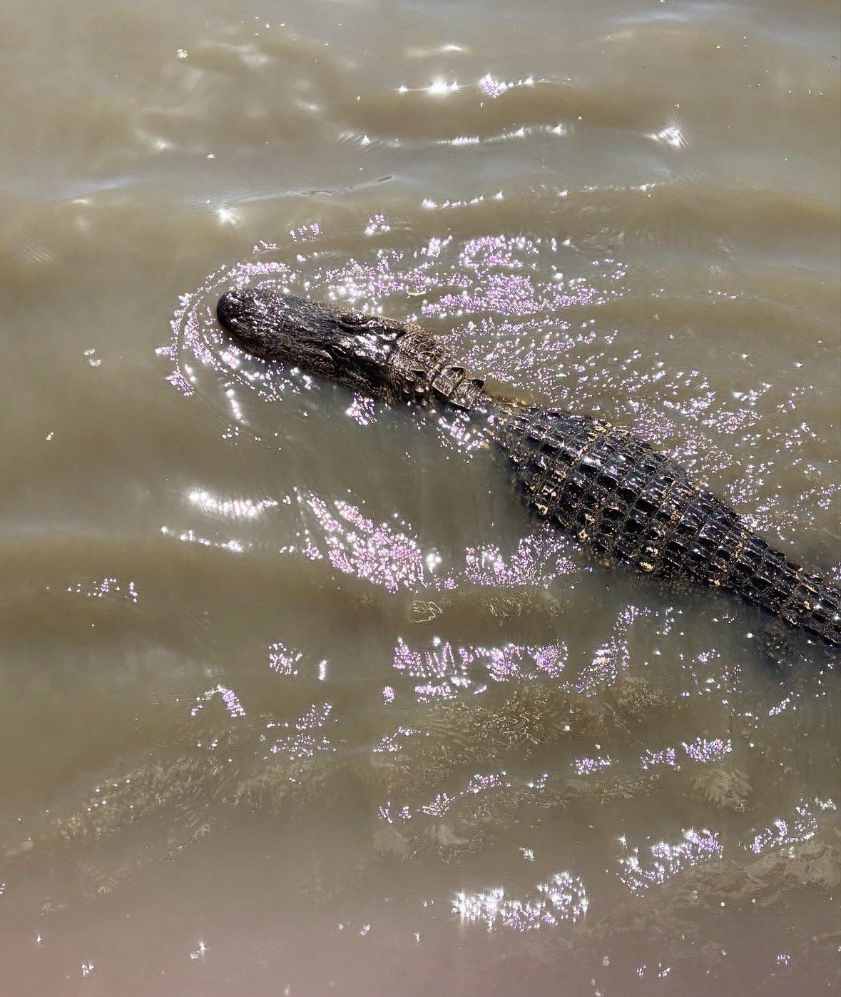
Bring repellent in any month, because mosquitoes are active most of the year in these wetlands, and wear closed-toe shoes; the Park Service also warns about stinging caterpillars and fire ants at the area's outdoor sites. Keep your distance from anything that moves. Official guidance is never to approach, harass or feed an alligator, which can move very quickly, and to give snakes plenty of room.
Birds, alligators and nutria through the year
Nearly 200 species have been logged in the Manchac-area swamp and marsh, which puts this among the better wetlands near the city for anyone carrying binoculars. The state birding guide singles out the power line crossing the marsh at Joyce WMA for raptors from fall through spring, and the duck list is long enough to reward a winter paddle.
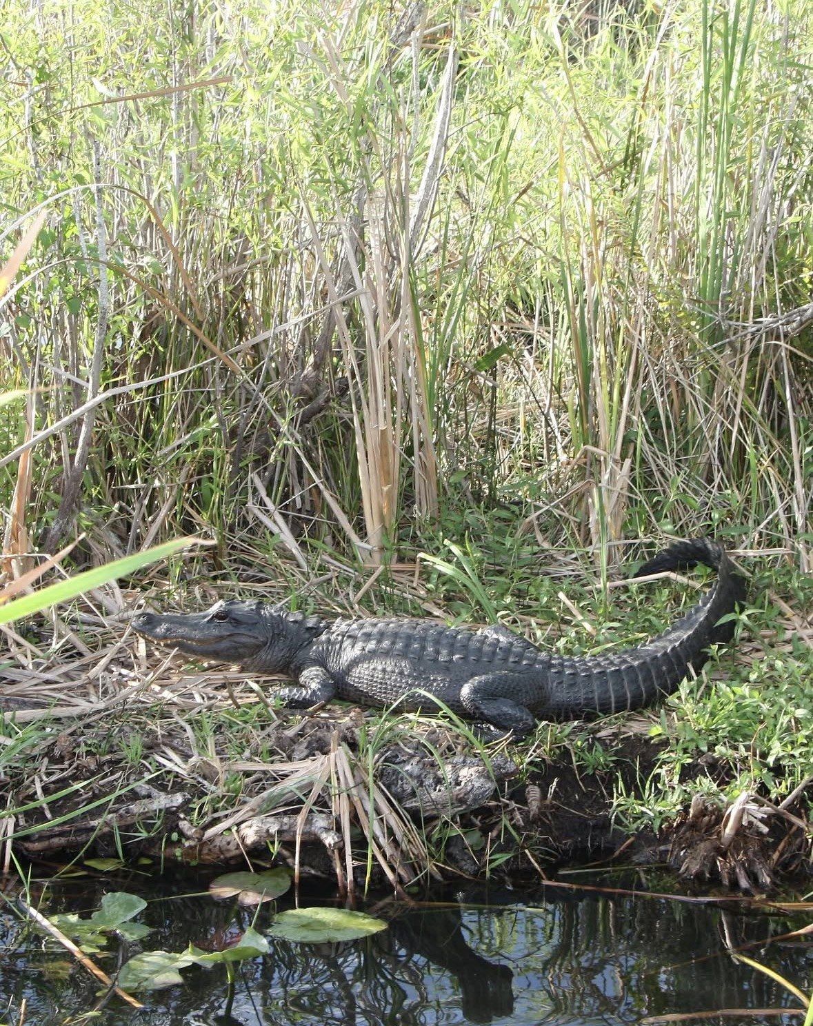
Alligators behave differently here in the cold half of the year than visitors expect. What a winter paddle puts you alongside is a dormant animal rather than an absent one: below 55°F (12.8°C) the Park Service describes them as brumating instead of hibernating, able to wake and move at any point, and since digestion depends on body heat they take no food at all unless it is above roughly 70°F (21°C). Large animals are commonly seen basking on warm winter days, which is why a midday slot beats a first-light one in January. Nutria keep their own schedule: the Park Service lists them as common in swamp and abundant in marsh, active whether or not you want to see them.
- Fall through spring raptors on the Joyce WMA power line: Sharp-shinned Hawk, Cooper's Hawk, Bald Eagle
- Ducks recorded in the Manchac swamp and marsh: American Wigeon, Green-winged Teal, Ring-necked Duck, Black-bellied Whistling-Duck, Wood Duck, Hooded Merganser
- The grey strands hanging over the paddling channels draw their moisture and nutrients straight from the air: a bromeliad with the pineapple for a closer relative than any moss, whatever the name says
Frenier, Ruddock and the story of Aunt Julia Brown
Two settlements stood on this land bridge while the cypress was coming out. Ruddock was a sawmill town with about 700 residents in 1910 and was never rebuilt after the hurricane of 1915, a Category 4 storm with 145 mph winds; Frenier, a few miles down the line, was rebuilt and gave its name to the road you drive today.
The folklore attaches to one resident. The Historic New Orleans Collection documents 'Aunt' Julia Brown of Frenier, born about 1845, who inherited a 40-acre homestead and died of old age in 1915, with her funeral set for 29 September, the day the storm came ashore. That coincidence of dates seeded the curse story guides still repeat on the water; the documented part is the homestead, her age and the funeral date.
Questions people ask
What is the difference between a swamp, a bayou and a marsh in this area?
A swamp is a wetland dominated by woody plants, and southern forested swamps are the cypress, red maple, overcup oak and willow type you see on the land bridge. The Park Service defines a bayou as a slow-moving, constantly flowing waterway, usually wide and shallow, from the Choctaw word 'Bayuk' meaning small stream, and its water can be fresh, brackish or salt. A marsh carries no trees: soft-stemmed emergent plants such as cattails, reeds and bulrushes, usually standing in a few inches to two or three feet of water.
Do I need to have paddled before the Manchac kayak tour?
No. The 2.5-hour small-group trip includes a paddle lesson before you set off, all necessary gear and equipment, and a guide with the group the whole way. The water on this side of the land bridge is channels and canals rather than open lake, which is why beginners cope with it.
When is the best month to see the cypress here?
For comfort in a kayak seat, pick October or November: average highs in the 60s°F and rain that shows up less often than in other months. Winter opens the sightlines because the cypress is bare, and it is also the strongest window for raptors and ducks on the Manchac marsh. If you come between June and September, take the earliest slot available.
Will the Maurepas diversion change what the swamp looks like?
That is the intention. The state coastal authority describes the River Reintroduction into Maurepas Swamp as a 5.5-mile controlled-flow diversion that will add nutrients, flush out stagnant low-oxygen water, deliver fine sediment and freshen the swamp if salinity reaches levels that harm the trees. Construction started at Hope Canal in 2024, moves near Garyville in 2027, and completion is estimated for 2030, so what you paddle now is the swamp before the work finishes.
Is this the same trip as a Honey Island or Barataria swamp tour?
No, these are different wetlands in a different direction. The Honey Island dock area at 55345 US-90, Slidell is about 35 miles out on I-10 East, the Barataria Preserve at 6588 Barataria Blvd, Marrero is put at 30 minutes from the French Quarter, and the Frenier Road departure is about 25 miles west of the city. Manchac is the one where the cypress corridors and the standing dead stands are the point.
Read also